Maps, borders,and networks
People have been creating maps since ancient times. The earliest map, thought to be a schematic representation of the night sky, was found in the caves of Lascaux, France. It dates to 14,500 BCE. While we often regard maps as objective representations, they are in fact laden with subjective views of the world. And maps change over time. Borders and boundaries are constantly in flux, shifting with wars and politics and in response to changes in international relations. Many artists have used maps to tell wide-ranging stories about conflict, migration, identity, and social, cultural, or political networks.
Featured Works
12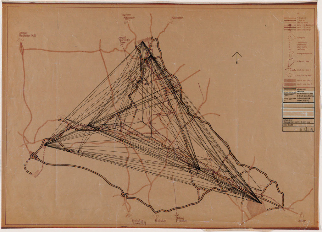
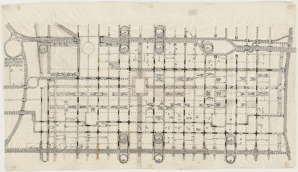
Potteries Thinkbelt Project, Staffordshire, England (Plan...
Cedric Price
1964–1966
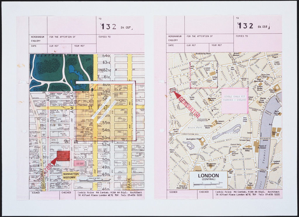
Generator Project, White Oak, Florida, Site and Size Comp...
Cedric Price
1978-80
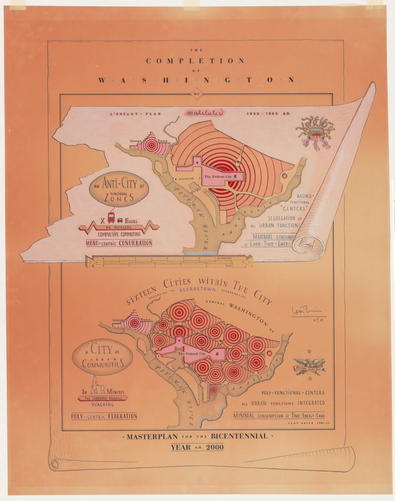
The Completion of Washington, D.C., project, Washington, ...
Leon Krier
1985
Charrette Submission for The Museum of Modern Art Expansi...
Rem Koolhaas
1997
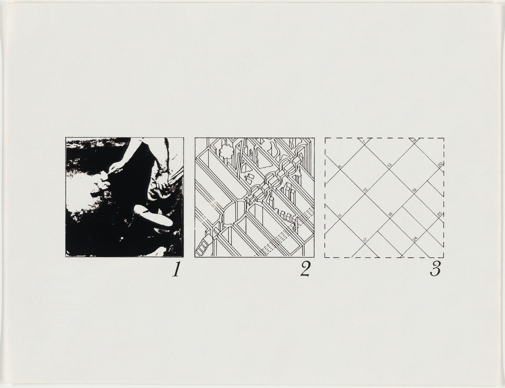
The Manhattan Transcripts Project, New York, New York, Ep...
Bernard Tschumi
1976-77
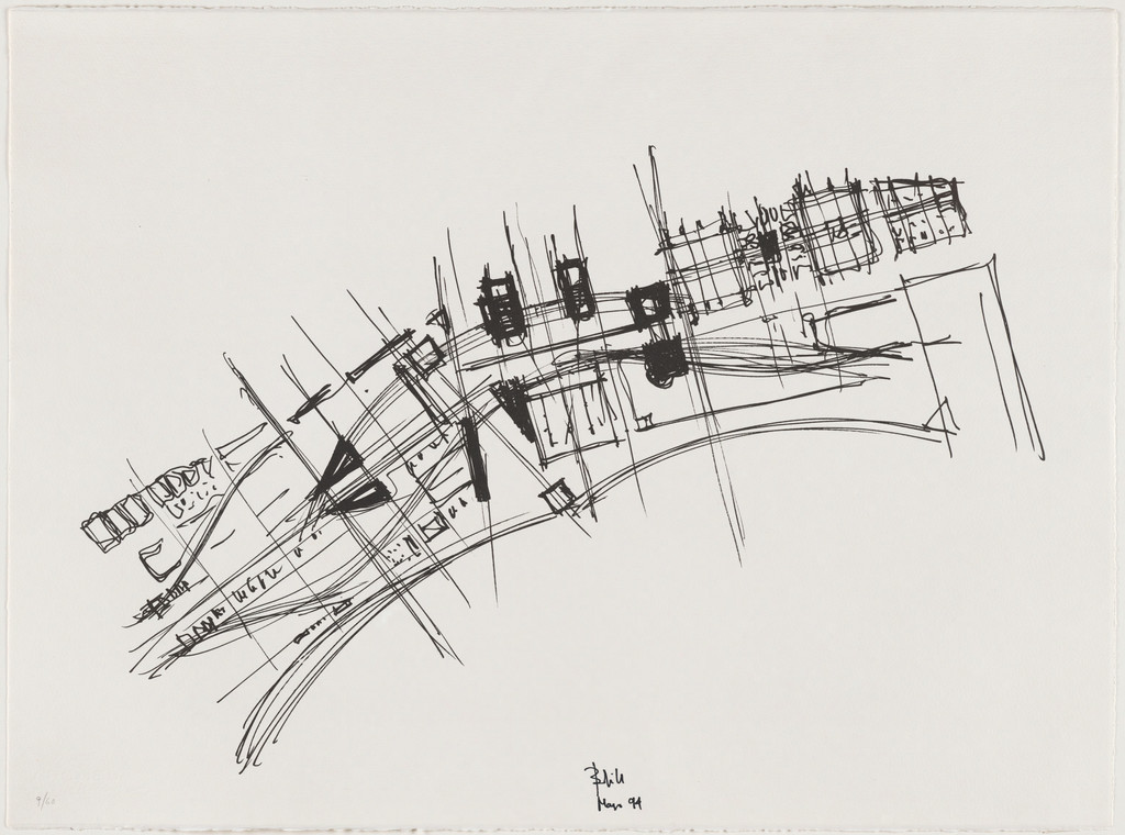
Traffic Studies, project, Philadelphia, Pennsylvania, Pla...
Louis I. Kahn
1952-53
Generator Project, White Oak, Florida, Early combined sit...
Cedric Price
1978-80
Town Plan Project, Kobe, Japan, Site plan
Ricardo Bofill
1994
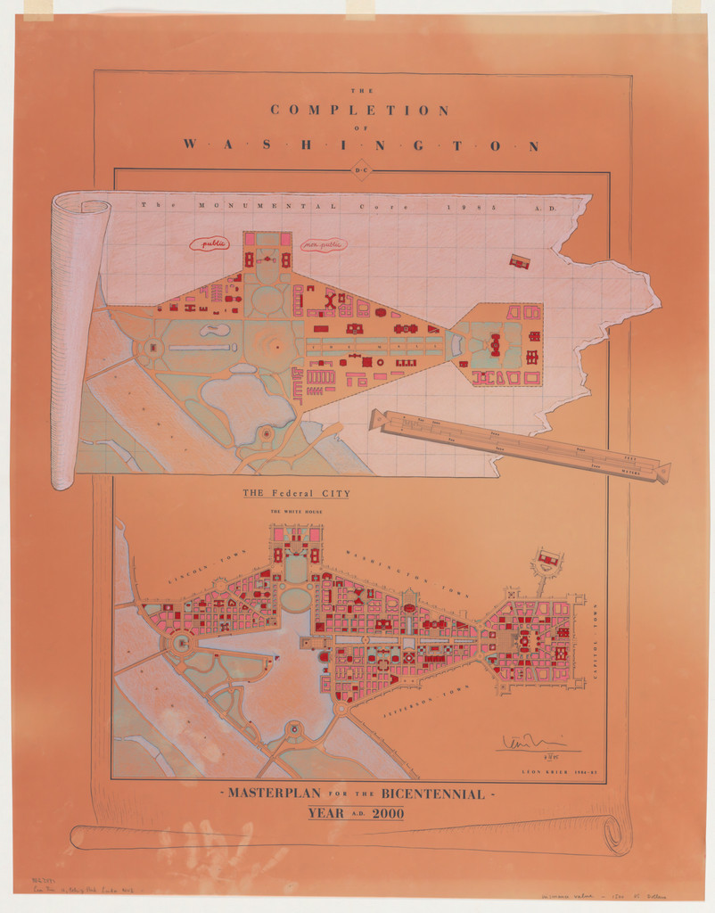
The Completion of Washington, D.C., project, Washington, ...
Leon Krier
1985
Traffic Study project , Philadelphia, PA (Plan of propose...
Louis I. Kahn
1952
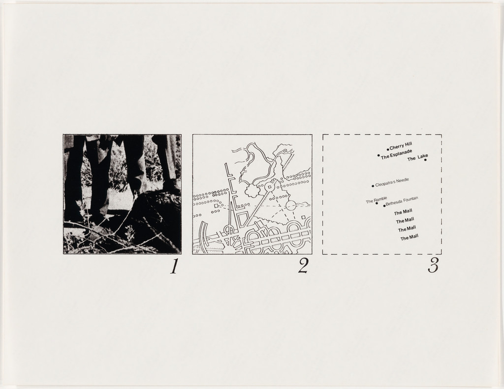
The Manhattan Transcripts Project, New York, New York, Ep...
Bernard Tschumi
1976-77
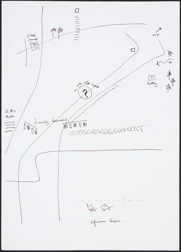
Exodus, or the Voluntary Prisoners of Architecture: The T...
Rem Koolhaas
1972