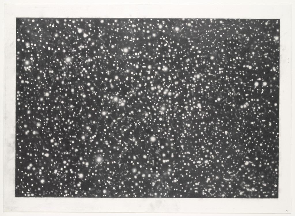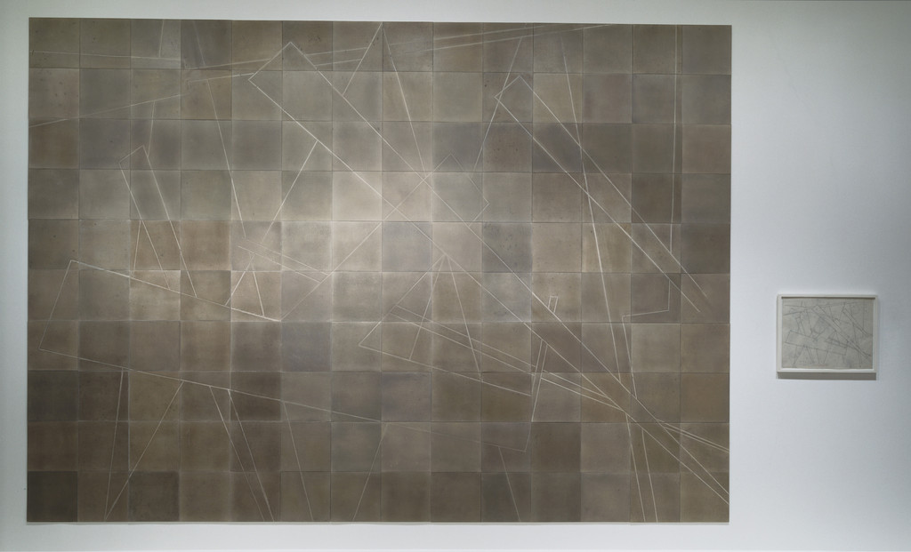
Nazca Lines Star Chart and Nazca Lines Southern Hemisphere Constellation Chart Correlation
Michelle Stuart
American, born 1938
1981-82
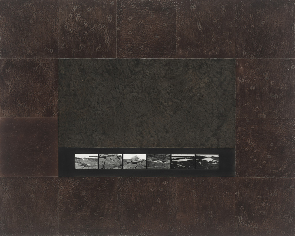
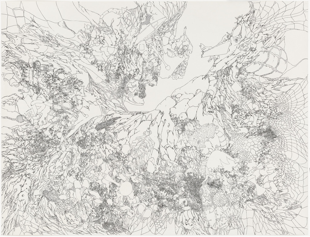
A monumental work in which Michelle Stuart used earth from Nazca, Peru on rag paper and layered vellum, drawing faint linear networks that link the Nazca geoglyphs to star charts in an effort to make place, material, and cosmology readable.
From a few feet away the panel reads as a vast, muted checkerboard of earthen tones veined by whisper-thin, pale lines that feel both scraped and drawn, conjuring maps, ruins, and constellations at once.
By literally bringing Nazca soil into the gallery and aligning ground marks with celestial coordinates, Stuart fused land art, archaeology, and mapping practice, opening a poetic model for site-specific, material-based investigations of history and landscape.
Medium
Earth from Nazca, Peru on rag paper, mounted rag board, and pencil and ink on layered vellums
Dimensions
10' 1/4" x 14' 1/2" (305.3 x 428 cm) and 17 x 22" (43.2 x 55.9 cm)
Classification
Department
Credit
Gift of William S. Paley
Accession
272.1984.a-b
Palette
Exhibitions